If unpaved pedaling is your thing, then this rugged beast has your name all over it. It covers every inch of legal trail in the Pisgah Ranger District. On bike, foot or horseback, we’ve covered it. We’ve even included obsessively outlined descriptions of 16 rides for everyone from beginners to white-knuckled gravity chasers. Elevation profiles and easy-to-follow directions complement each description to keep you on track.
But if biking’s not your thing, we’ve got hiking, horseback riding and every other outdoor activity covered too. From epic day hikes to multi-day wilderness adventures on the Mountain-to-Sea or Art Loeb trails, it’s all laid out in perfect detail. So what’s stopping you?
Technical Stuff
Size: 25.75” x 38” | 4” x 9” Folded
Scale: 1:39,000
1 inch = 0.62 miles
What this map covers
Pisgah National Forest
Pisgah Ranger District
Davidson River Campground
Looking Glass Rock
Looking Glass Falls
Turkey Pen
Mills River
Bent Creek Experimental Forest
Cold Mountain
Art Loeb Trail
Shining Rock Wilderness Area
Middle Prong Wilderness
Devil’s Courthouse
Black Balsam
Graveyard Fields
Mount Pisgah
John Rock
The Cradle of Forestry
Brevard
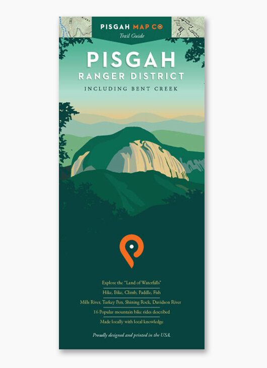 Image 1 of 7
 Image 2 of 7
 Image 3 of 7
 Image 4 of 7
 Image 5 of 7
 Image 6 of 7
 Image 7 of 7