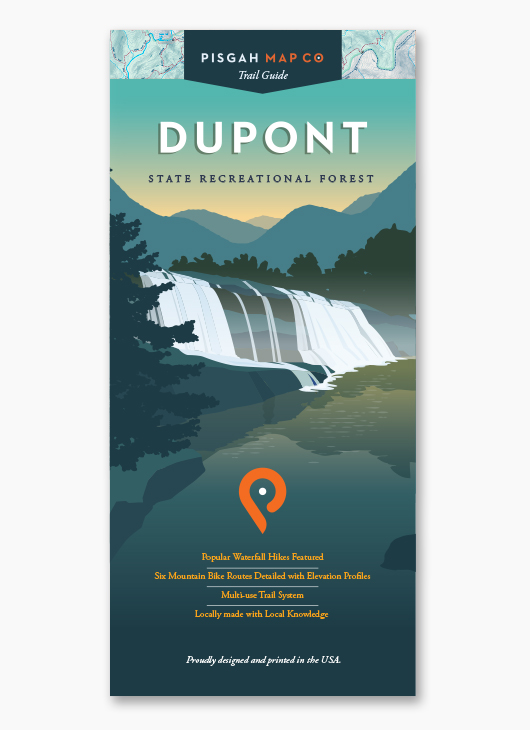
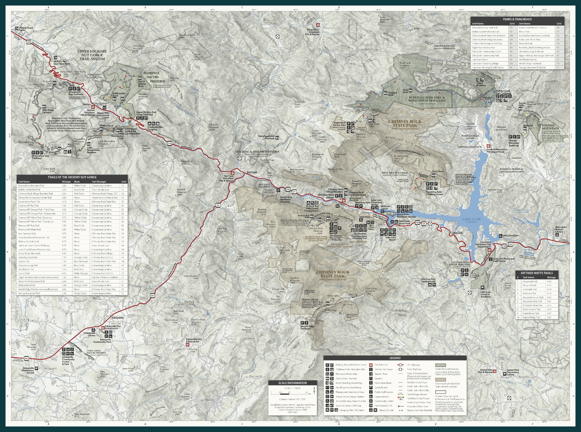
 Image 1 of 3
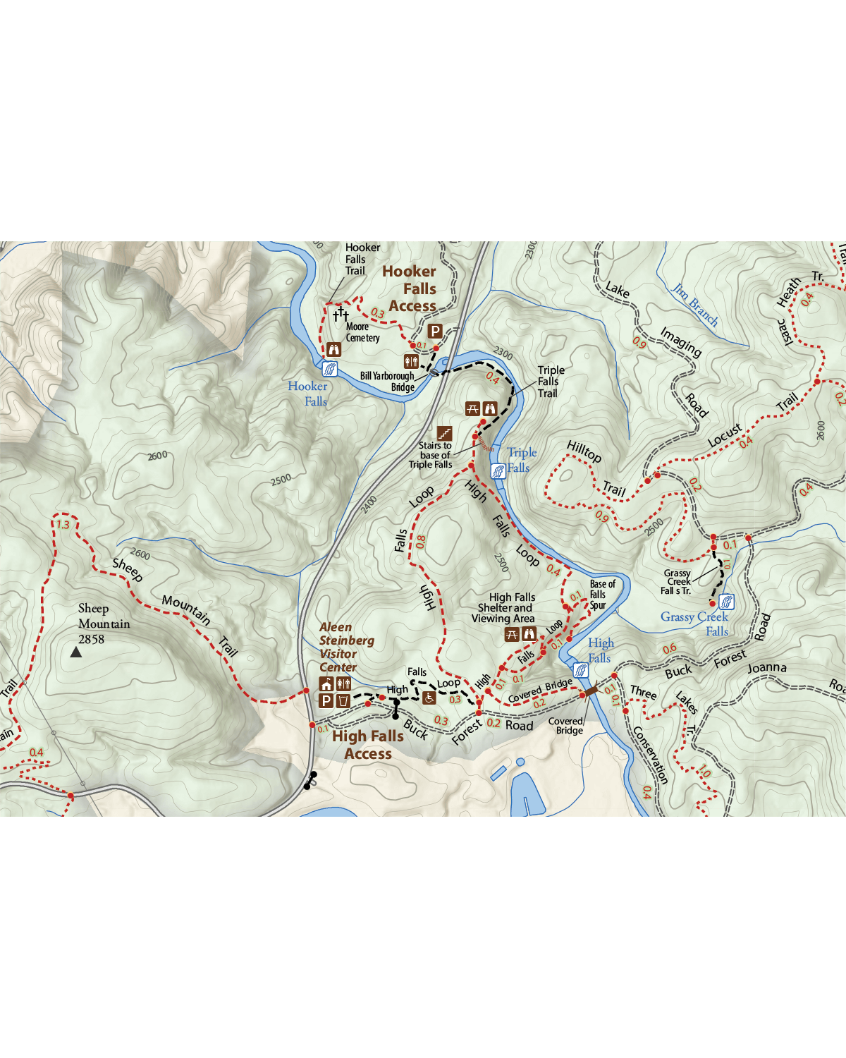
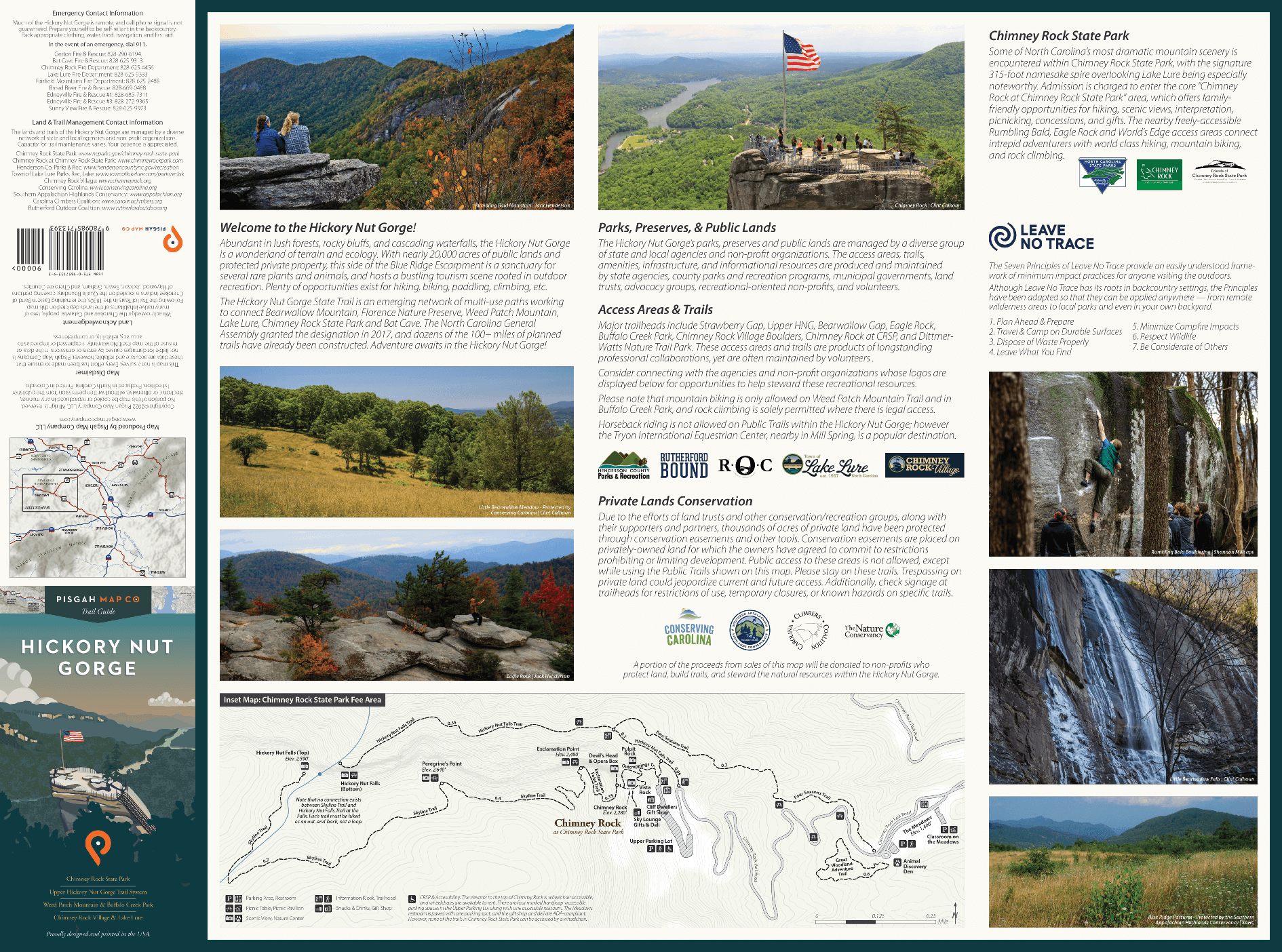
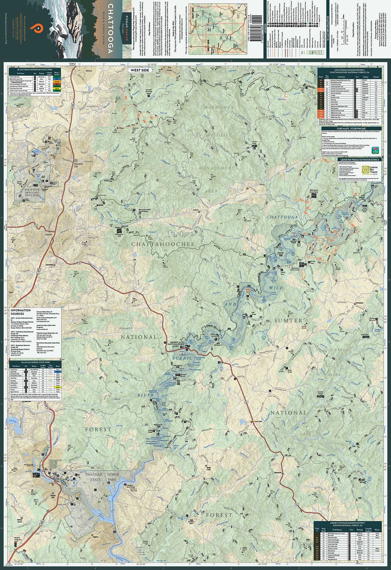 Image 2 of 3
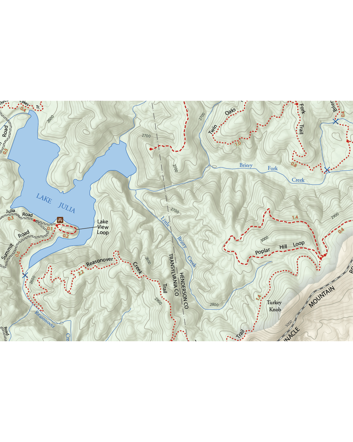
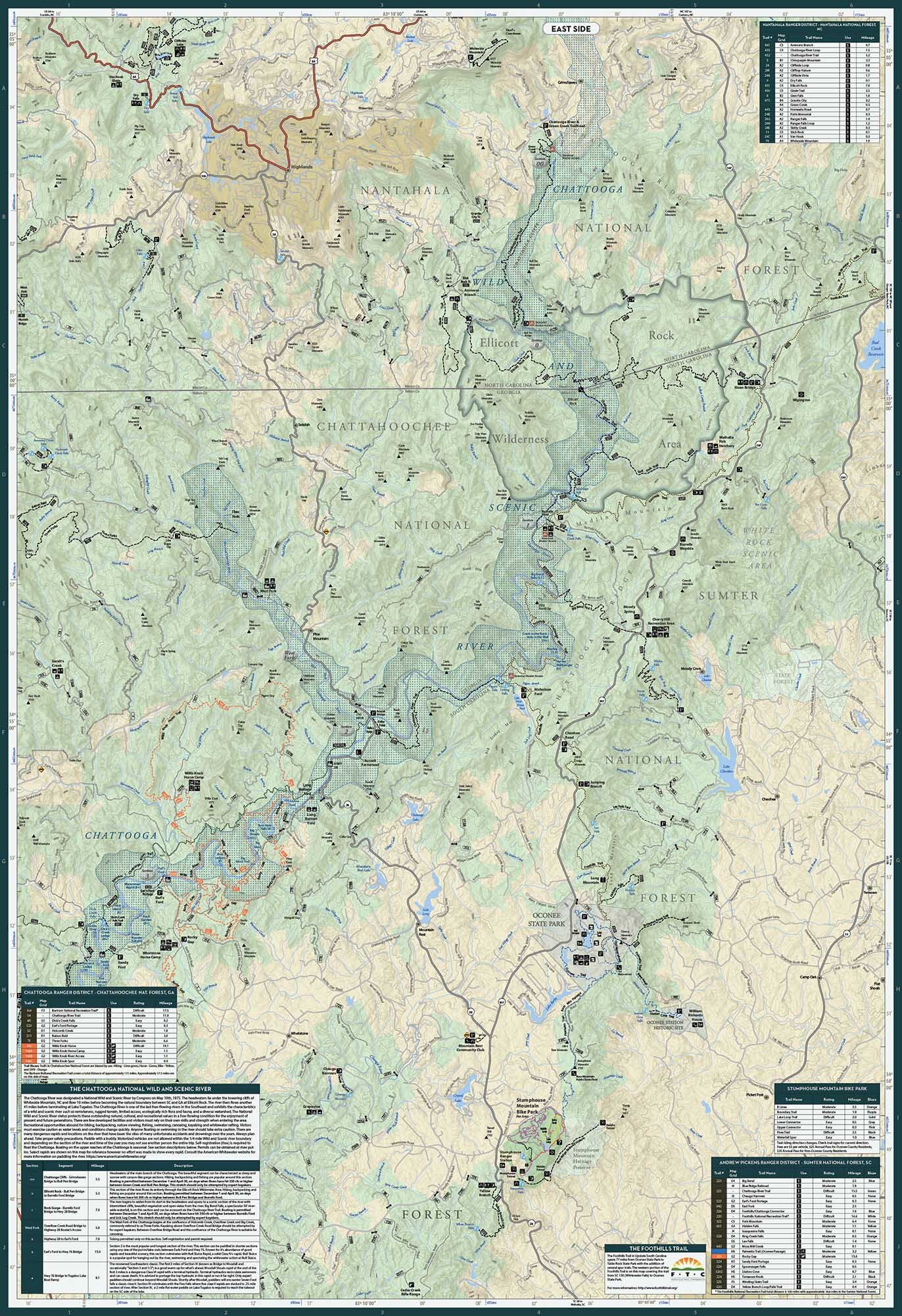 Image 3 of 3
Good thing these maps are waterproof – a simple feature that you’ll no doubt appreciate as it guides you along your adventures on the Chattooga National Wild and Scenic River. But aside from its general aquatic awesomeness, it’s literally the most comprehensive guide to this rugged and remote area, featuring detailed descriptions of each of this free-flowing river’s seven major sections. We’ve also detailed every waterfall and official trail along the way, including the western section of South Carolina’s famous Foothills Trail. So if wet and wild is your thing, you need to get this thing and get to it.
Technical Stuff
Size: 26.75” x 39” | 4” x 9” folded
Scale: 1:36,000
1 inch = 0.57 mile