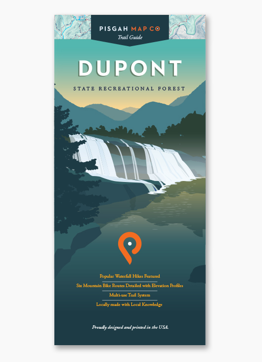
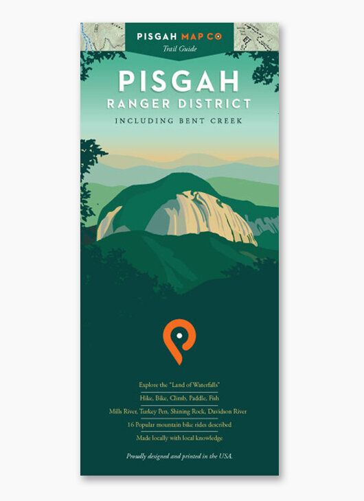
Image 1 of 4
 Image 2 of 4
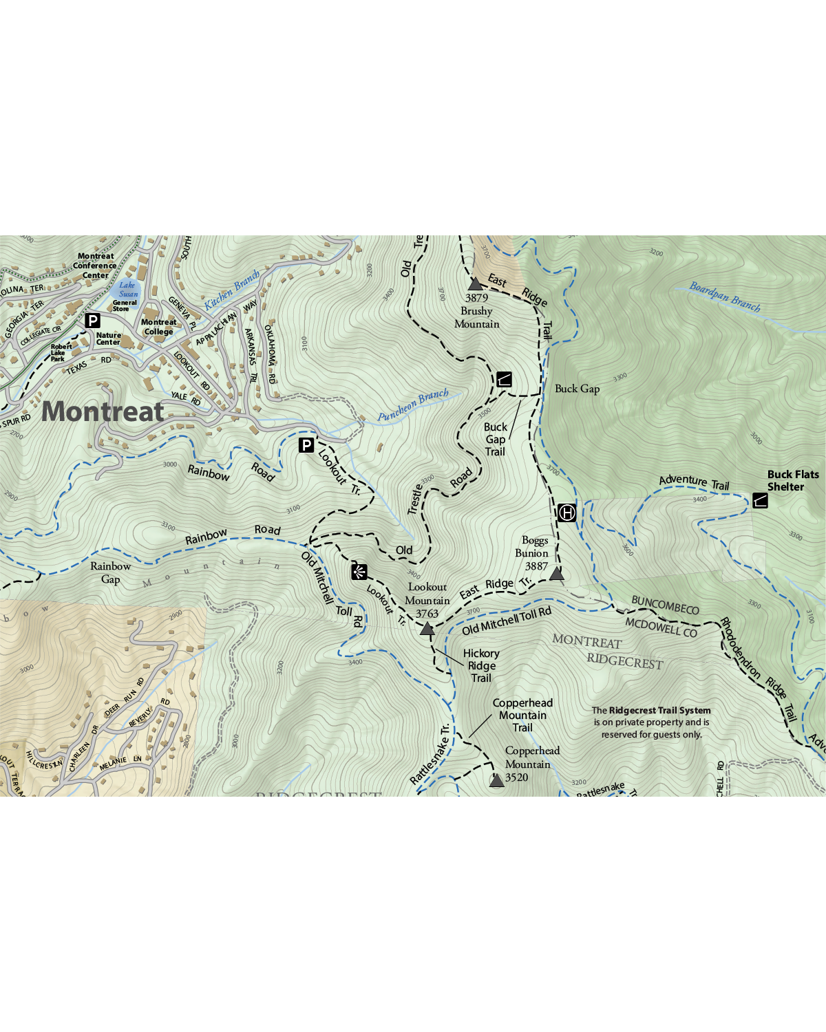 Image 3 of 4
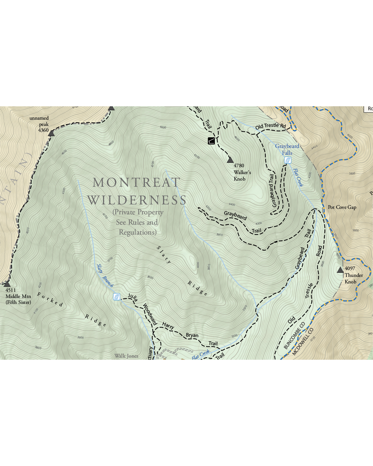 Image 4 of 4
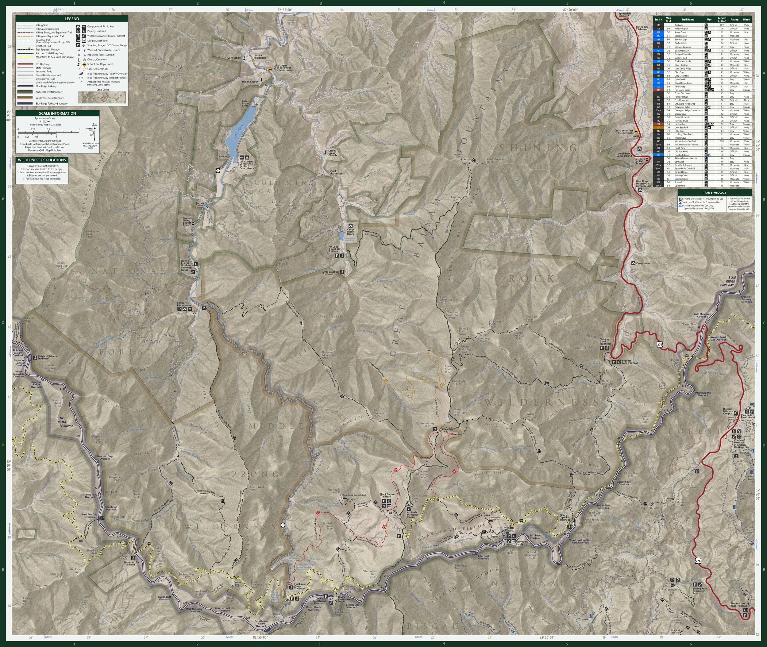
Right in our own backyard, we’ve spent our fair share of time trekking around Black Mountain – Western North Carolina’s favorite recreational community. And we’ve detailed every trail, peak and viewpoint along the way. This map will guide you from the parks and greenways in town to the remote wilds of the Montreat Wilderness and Ridgecrest trail systems, for some of the best day hiking around. We’ve even included the Rainbow Road and Old Mitchell Toll Road for the cyclists among us. Now, stop reading and come out to play.
Technical Stuff
Size: 23” x 35” | 4” x 7.5” folded
Scale: 1:12,000
1 inch = 0.19 miles